duminică, 10 ianuarie 2016

J. R. R. Tolkien - Lord of The Rings Part II

   In the first part you saw lots of Middle-Earth Maps. Have you ever wondered what it took to create a universe of that scale? Here is some sketches by Tolkien, made in order to build Middle-Earth:
 These sketches are © Courtesy of the Bodleian Libraries, University of Oxford.

marți, 5 ianuarie 2016

J. R. R. Tolkien - Lord of The Rings Part I

The World Of LOTR - Middle Earth

   No writing about fiction is complete without mentioning Tolkien. Today we are going to explore maps of the Middle-Earth. Everyone heard of how creative Tolkien was, but thinking of a map at such a scale is quite a feat for one man. Indeed, open-minded! Middle-earth is the setting of much of J. R. R. Tolkien's legendarium. A true "fictional-universe".
Middle Earth Map made by unknown
  •  J.R.R. Tolkien never finalized the geography for the entire world associated with The Hobbit and The Lord of the Rings. In The Shaping of Middle-earth, volume IV of The History of Middle-earth, Christopher Tolkien published several remarkable maps, of both the original flat earth and round world, which his father had created in the latter part of the 1930s. Karen Wynn Fonstad drew from these maps to develop detailed, but non-canonical, "whole world maps" reflecting a world consistent with the historical ages depicted in The Silmarillion, The Hobbit, and The Lord of the Rings.
Map of The Middle Earth in video game
Middle Earth Map made by unknown
  •  Maps prepared by Christopher Tolkien and/or J.R.R. Tolkien for the world encompassing The Hobbit and The Lord of the Rings were published as foldouts or illustrations in The Hobbit, The Lord of the Rings, and The Silmarillion. Early conceptions of the maps provided in The Silmarillion and The Lord of the Rings were included in several volumes, including "The First Silmarillion Map" in The Shaping of Middle-earth, "The First Map of the Lord of the Rings" in The Treason of Isengard, "The Second Map (West)" and "The Second Map (East)" in the War of the Ring, and "The Second Map of Middle-earth west of the Blue Mountains" (also known as "The Second Silmarillion Map") in The War of the Jewels.
Map published by Iron Crown Enterprises for a Middle Earth Role Playing
War in Middle-earth Map - J.R.R. Tolkien
"A Map of Middle-Earth" by Pauline Baynes, 1970

If you want to interact with a map of The Middle Earth - look here: 

vineri, 25 decembrie 2015

Christmas Time - Map Time


Merry Christmas!

Pokémon Crystal - The Ice Path - 1F.


Pokemon Crystal -The Ice Path - B1F

Pokémon HeartGold and SoulSilver - The Ice Path -1F

Pokémon HeartGold and SoulSilver - The Ice Path- B1F

Majora's Mask (2000) - Snowhead Temple

Pallet Town - Christmas


marți, 15 decembrie 2015

Dragon Age Maps - Part I

 Dragon Age: The World of Thedas

 Thedas is a continent in the southern hemisphere, and the only known continent of the Dragon Age universe, upon which all of the Dragon Age games are set. It is presumed that there are other continents. The word "Thedas" originates from Tevene, once referring to all lands beyond the Imperium and eventually, it came to encompass the entire continent. A native of Thedas is referred to as a Thedosian.
On this map you can see 12 regions:
 
Oceans & seas:
  • Amaranthine Ocean — in the east
  • Boeric Ocean — in the north, surrounding Par Vollen and the Seheron archipelago
  • Colean Sea — between the Anderfels and Seheron
  • The Frozen Seas — southeast of Ferelden
  • Nocen Sea — north of Tevinter Imperium, including the Ventosus Straits
  • Sundered Sea — on the southwestern edge of Orlais
  • Venefication Sea — between Rivain and Par Vollen, including the Northern Passage leading to the Amaranthine Ocean
  • Volca Sea — west of the Anderfels
  • Waking Sea — between Ferelden, Orlais, and the Free Marches 
Lakes:
  • Lake Calenhad — in Ferelden, also the largest in Thedas
  • Lake Celestine — in the Heartlands of Orlais
  • Lake Luthias — a small lake south of Lake Calenhad
  • The Sulfur Lakes — south of Orlais
 

Mountains:
  • Arl Dumat — a volcano between the Hunterhorn Mountains and Gamordan Peaks
  • Mount Daverus
  • Frostback Mountains — separating Ferelden from Orlais
  • Gamordan Peaks — in southwestern Orlais
  • Hunterhorn Mountains — in western Orlais and between Orlais and the Anderfels
  • Vimmark Mountains — in the southern Free Marches
  • The White Spire — in Antiva
  • Unnamed mountain range in the Tevinter Imperium's east.
  • Unnamed mountain range in eastern Rivain.
Forests:
  • Arbor Wilds — in southern Orlais
  • Arlathan Forest — in the Tevinter Imperium's far east
  • Brecilian Forest — in eastern Ferelden
  • The Donarks — a jungle north of the Anderfels
  • Korcari Wilds — in southern Ferelden
  • Planasene Forest — in the southwestern Free Marches
  • The Tirashan — in western Orlais

 Facts about Thedas map:
  • According to David Gaider, there is no individual name for the planet where Thedas exists, as most Thedosians consider Thedas "the entire world".
  • The land beyond the Amaranthine Ocean is referred in myths as the 'Amaranth'.
  • The name was originally an acronym used on the BioWare Dragon Age forums. It stands for "THE" "D"ragon "A"ge "S"etting.

Codex entry: Geography of Thedas


    Thedas is bounded to the east by the Amaranthine Ocean, to the west by Tirashan Forest and the Hunterhorn Mountains, to the south by the snowy wastes that lie beyond the Orkney Mountains, and to the north by Donark Forest.
   The word "Thedas" is Tevinter in origin, originally used to refer to lands that bordered the Imperium. As the Imperium lost its stranglehold on conquered nations, more and more lands became Thedas, until finally people applied the name to the entire continent.
   The northern part of Thedas is divided amongst the Anderfels, the Tevinter Imperium, Antiva, and Rivain, with the islands held by the Qunari just off the coast. Central Thedas consists of the Free Marches, Nevarra and Orlais, with Ferelden to the south.
   What lies beyond the snowy wastes is a mystery. The freezing temperatures and barren land have kept even the most intrepid cartographers at bay. Similarly, the western reaches of the Anderfels have never been fully explored, even by the Anders themselves. We do not know if the dry steppes are shadowed by mountains, or if they extend all the way to a nameless sea.
   There must be other lands, continents or islands, perhaps across the Amaranthine or north of Par Vollen, for the Qunari arrived in Thedas from somewhere, but beyond that deduction, we know nothing.
--From In Pursuit of Knowledge: The Travels of A Chantry Scholar, by Brother Genitivi.
 http://guides.gamepressure.com


luni, 7 decembrie 2015

Ubi sunt "Hic sunt dracones"?

Let's Answer Some Questions! Q&A


 I. What does ”Hic sunt dracones” means?

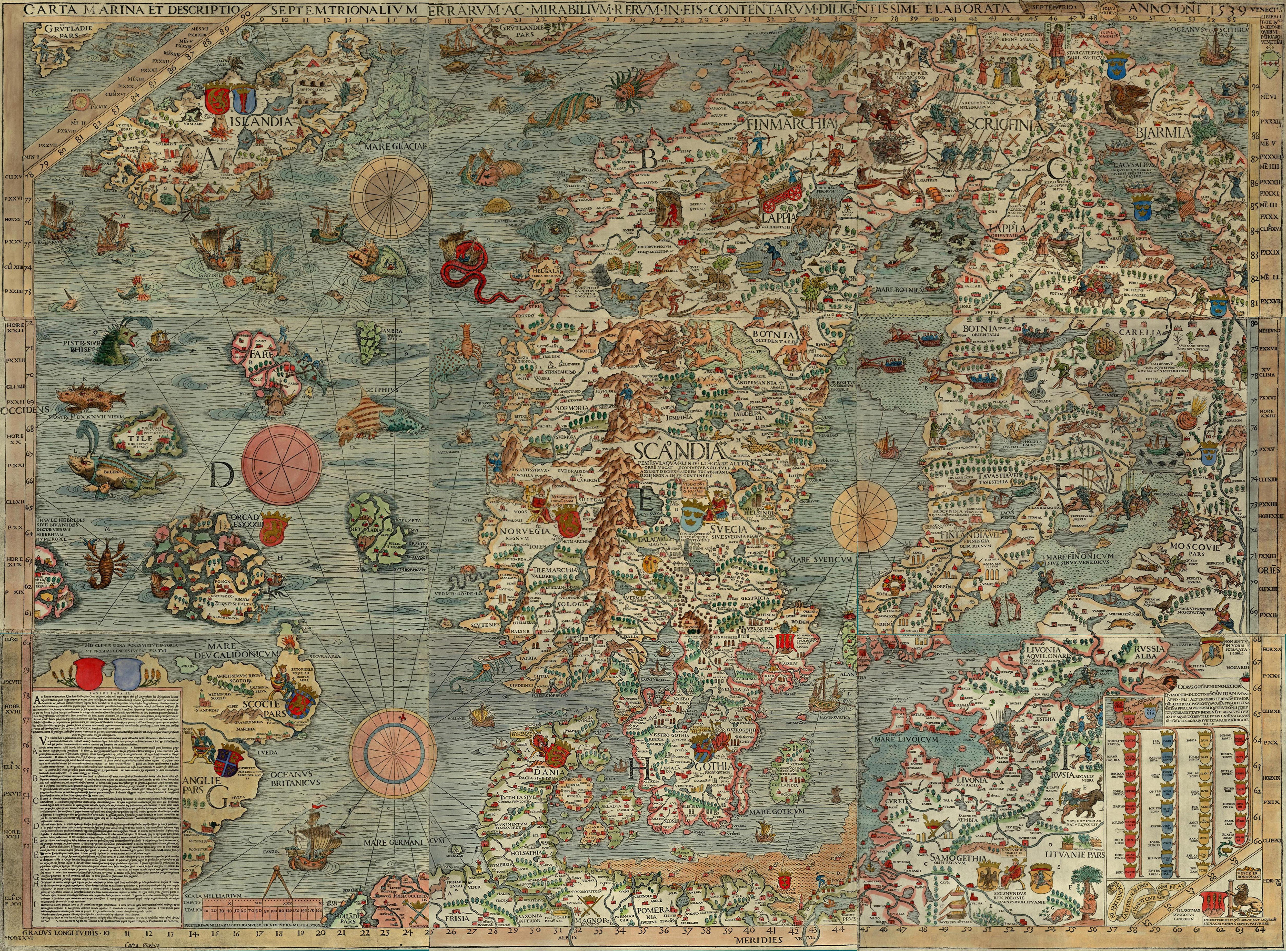
  "Hic sunt dracones" is a latin phrase (translated as 'here are dragons') that means dangerous or unexplored territories, in imitation of a supposed medieval practice of putting dragons, sea serpents and other mythological creatures in uncharted areas of maps. Personally, I believe it was used as a warning sign to prevent explorers from venturing beyond the known world or as an off-limits sign.


II. How and when did the notion that old maps commonly bore the phrase "here be dragons" become established in popular belief?  

   Did a Shakespeare or a Byron put it into circulation?  It must at least pre-date the publication of Dorothy L. Sayers' short story "The Learned Adventure of the Dragon's Head" in Lord Peter Views the Body (London: Gollancz, 1928), in which a character refers to having seen "hic dracones" on an old map [spotted by both Andrew S. Cook and Benjamin Darius Weiss].  Does it pre-date the publication of the text of the LenoxGlobe in 1879?  Why dragons, and not one of the other terrifying creatures depicted on old maps?  We don't know.
    But I know that this legenday phrase gained attention from The Lenox Globe (1510) and that it might have been related to the Komodo dragons in the Indonesian islands, tales of which were quite common throughout East Asia. This phrase wasn't common on maps, contrary to the popular belief. Still, it wasn't rare for terrifying and amazing beasts to be mentioned or depicted on a map, of course for various reasons.
  Examples: The Carta Marina by Olaus Magnus (1490-1557), The Ebstorf Map, Ptolemy's world map.

III. How does this relate to fictional geography?

   Well, dragons are mythical creatures and fictional geography is the use of maps, text and imagery to create lands and territories to accompany works of fiction. I like to relate those two terms.

IV. In the end, what do you what to accomplish with this blog?

   I have a passion for cartography, so I want to showcase fictional maps. I believe that creating maps unshackled by reality, limited just by imagination, can produce fascinating results. Those maps have no boundaries, just art at its finest.